

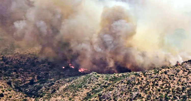
Photo By Tonto National Forest: The Woodbury Fire in the Superstition Wilderness area has grown to 44,451 acres.
By Jon Johnson
SUPERIOR – As of Wednesday evening, the Woodbury Fire burning in the Superstition Wilderness area of the Tonto National Forest roughly five miles northwest of Superior has consumed 44,451 acres with a 21 percent perimeter containment. The fire is estimated to be fully contained by July 1 but longtime wildfire firefighters believe it won’t be extinguished until the monsoon rains come.

The Woodbury Fire began Saturday, June 8 at about 1:30 p.m. and is listed as being human-caused and under investigation.
Hot, dry, and blustery conditions have aided the fire’s growth as Southwest Area Type 1 Incident Management Team 2 headed by Rich Nieto continue to use direct and indirect attack operations to minimize impact to infrastructure, transportation corridors, public and private property, recreation areas, riparian waterways, and to not endanger the threatened Mexican Spotted Owl.
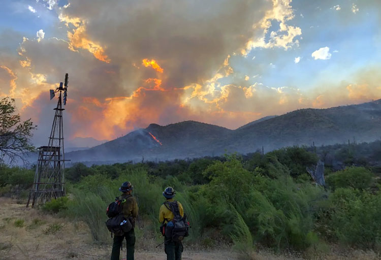
A total of 877 personnel are battling the fire, which crossed Spencer drainage and ran up the other side where retardant drops were previously made on Sawtooth Ridge. Wednesday’s firefighting efforts were focused on diverting the fire from at-risk targets, such as power transmission lines, structures, rangeland improvements, and the Pinto Creek Mine.
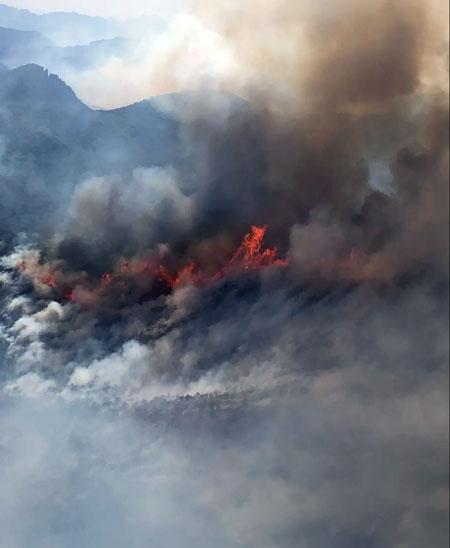
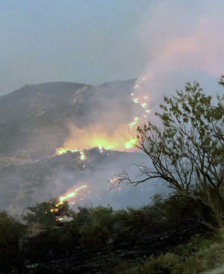
The fire has been making uphill runs while burning grasses, brush, and Chaparral. At higher elevations, stands of mesquite and Pinyon-Juniper trees are found as well as in riparian areas. It is firmly established in Campaign Creek and will likely push northeast into other areas of grass and shrub vegetation.
The fire is also pushing a lot of smoke into the Roosevelt Lake area. On Wednesday, the Gila County Office of Emergency Management announced a “Set” notification, which is in the middle of its “Ready, Set, Go” wildland fire action plan procedures. The notice advised the fire was still about 11 miles from the Roosevelt and Roosevelt Lake area communities, but the weather could cause increased fire activity during the next few days as low humidity is predicted to go along with high temperatures and increased winds. Those with concerns should call the Gila County Emergency Management office at (928) 402-8888.
Current closures: The Tonto National Forest has closed the Superstition Wilderness and adjacent Forest. For more detailed information go to http://www.fs.usda.gov/alerts/tonto/alerts-notices/?aid=52969
State Highway 88 is closed from south of Needle Vista east to the junction of State Highway 88 and State Highway 188. This includes Tortilla Flat, Canyon Lake, Apache Lake, and campsites along State Highway 88.
The Forest Service Campgrounds at Roosevelt Lake east of Roosevelt Dam will be closed effective 6 a.m. June 20.

The following areas remain open to the public: Lower Salt River, Saguaro Lake, Roosevelt Lake, Bartlett Lake, Lost Dutchman State Park, and Oak Flat Campground. Tonto National Forest Stage 1 Fire Restrictions are in place.