
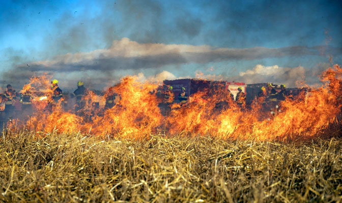
Southeastern Arizona homeowners have seen the smoke on the horizon before, and in the Gila Valley, that sight carries real weight. The region sits in a landscape shaped by dry heat, monsoon cycles, and dense desert scrub that can turn into fuel within days of a dry spell. Each year, fire agencies across Graham and Greenlee counties urge residents to prepare well before the season peaks, and the window for doing so is shorter than most people think.
Fire risk in the Gila Valley tends to escalate sharply between May and July, before the monsoon rains arrive. Much like checking sportsbook odds for sports betting before placing a wager, assessing wildfire risk means looking at real data, weighing the variables, and making decisions before conditions shift. The Arizona Department of Forestry and Fire Management publishes fire weather watches, red flag warnings, and drought indices that residents can monitor through the agency’s official website throughout the season.
The Frye Fire Changed How This Region Thinks About Risk
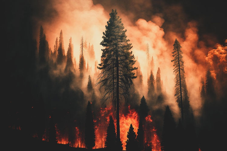
The Frye Fire of 2017 burned more than 48,000 acres on and around Mount Graham, which made it one of the largest and most destructive fires in Arizona’s modern history. For many Gila Valley residents, it was the moment wildfire risk stopped feeling abstract. The fire underscored just how quickly conditions can escalate across terrain where elevations shift dramatically, from the valley floor near Safford up through chaparral and ponderosa pine on the mountain slopes above.

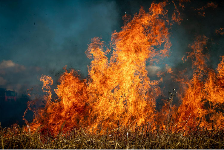
Grasslands dry out fast and carry fire quickly. Chaparral and scrub oak burn hot and unpredictably, especially under low humidity and afternoon winds. That combination of varied vegetation and dramatic elevation change makes the Gila Valley a genuinely complex fire environment, and one that demands more than last-minute thinking.
Clear the Ground Before You Worry About the Roof
Most homes in wildfire zones do not ignite from direct flame contact. They catch fire from embers that travel far ahead of the fire front and land in gutters, against siding, or on dry wood decks. That single fact should shape where homeowners focus their energy first, and the answer is the land immediately surrounding the structure.
Arizona uses a zone-based approach that breaks defensible space into two areas. Zone 1 covers the first 30 feet around the home, where the standard is essentially zero tolerance for dry fuel. Zone 2 extends from 30 to 100 feet and focuses on reducing overall vegetation density without necessarily clearing everything.
- Zone 1
Remove all dead vegetation and dry leaf litter. Keep grass mowed short, space shrubs at least 10 feet apart, and eliminate any continuous fuel path from the yard to the structure itself.
- Zone 2
Prune tree limbs so the lowest branches are at least 6 to 10 feet off the ground. Cut grass low and remove ladder fuels that could carry flames from the ground up.
- Woodpiles
Store firewood a minimum of 30 feet from any structure. Keeping it elevated on a metal rack also reduces the chance of ground-level embers finding their way into the pile.
- Gutters
Clear them of debris throughout the dry season. Embers settling into accumulated leaf litter on a roof are among the most common causes of home loss during wildland fires.
Your Home Has Vulnerabilities You Probably Have Not Checked
Small openings, unscreened vents, and older roofing materials all create pathways for embers to ignite a home. Walking the full perimeter before the first red flag warning of the season is far easier than scrambling once conditions are already dangerous.
Attic and crawl space vents are the most overlooked entry points. 1/8-inch metal mesh screening on all vents is one of the highest-value improvements. Single-pane windows are more vulnerable to radiant heat than double-pane glass, and while immediate replacement is not always feasible, closing exterior shutters adds a practical layer of protection. Wood shake roofs carry an ignition risk, and metal, tile, or Class A asphalt shingles offer substantially better fire resistance if a roof is aging and due for replacement.
Decks and porches deserve attention, too. Remove cushions, stored items, and potted plants with dry soil from wood deck surfaces before any fire weather warning is issued in the area.
A Plan Matters as Much as a Cleared Yard
Physical preparation only covers part of the picture. Every household in a fire-prone part of the Gila Valley should have a clear evacuation plan that includes at least two exit routes, a designated meeting point, and a packed go bag with medications, identification documents, water, and supplies for several days. Graham County residents can register for emergency alerts through Graham County Emergency Management, and Greenlee County operates its own notification system.
Knowing your neighbors also matters in ways that are easy to underestimate. Sharing information about road access, checking in on elderly residents during evacuations, and attending spring outreach events all contribute to a more resilient community response.