
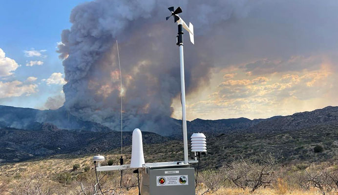
Contributed Photo/Courtesy Pinnacle Fire PIO: Smoke is shown in the distance from a Remote Area Weather Station in the Black Rock area.
Contributed Article
Size: Approximately 34,192 acres – Containment: 42% – Cause: Under investigation – Location: Santa Teresa Mountains – Start date: June 10, 2021 – Total personnel: 409
SANTA TERESA WILDERNESS – Firefighters continued to work to improve and hold containment features around the perimeter of the fire.
On the northern perimeter, the significant efforts exerted Sunday and Sunday night by firefighters to hold that segment of the fire from moving north was key to yesterday’s lower fire activity. Monday, engines, and crews continued to patrol, improve, and hold containment features in that area.
The other segments of the fire remained quiet through last night with firefighters patrolling and mopping up hot spots near the perimeter. On the west side, fire activity was moderate with isolated smoke from interior sources.
Patrolling crews reported minimal fire activity, extinguishing hot spots, and monitoring containment lines on both the south and eastern perimeters.
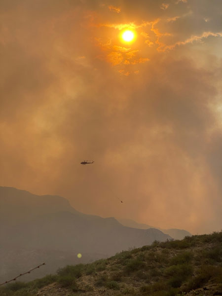
Despite yesterday’s diminished fire activity, fire managers caution that the Pinnacle Fire remains unpredictable and could exit existing containment features, move rapidly, and continue to grow. Interior pockets of fuel will continue to burn potentially creating significant smoke.
Today’s weather is forecast to be hot and dry but with reduced wind and increased humidity.
Currently assigned resources include five hand crews, four helicopters, 26 engines, 11 water tenders, and four dozers. Resource numbers are adjusted as operational needs are determined daily and within the constraints of competition from other fires across Arizona.

Smoke: The Pinnacle Fire and other fires are producing smoke. For current air quality information go to: https://wildlandfiresmoke.net/outlooks/EastCentralArizona and https://fire.airnow.gov.
Evacuations
GO: All Black Rock Road area residences, and all residences in the Klondyke-Aravaipa corridor in Graham County.
For “Ready, Set, Go” information follow this link: https://wildlandfire.az.gov/ and https://ein.az.gov/ready-set-go.
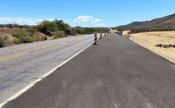
Closures: The existing FAA-designated Temporary Flight Restriction for the fire area was recently adjusted to compensate for fire growth. The Coronado National Forest, Bureau of Indian Affairs, and the Bureau of Land Management have closure orders in effect.