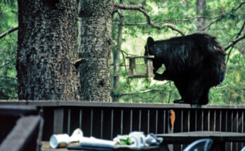

Forest Service Photo: A prescribed burn is scheduled for March in the Galiuro Mountains.
Fire part of Coronado National Forest plan to reduce hazardous fuels
Contributed Article
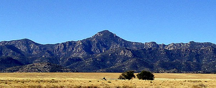
GALIURO MOUNTAIN RANGE – The Safford Ranger District of the Coronado National Forest expects to conduct the YLE Prescribed Fire as early as March 9. The project area consists of National Forest Lands in the northwestern portion on the Galiuro Mountains in southeastern Arizona.
The project boundaries lie between Rattlesnake Canyon on the east and the Forest Boundary on the west, and Copper Creek on the northern end and Kielberg Canyon on the southern end.
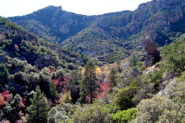
Approximately 19,550 acres are available for treatment. Fire managers expect to treat between 10,000 and 15,000 acres, which will be weather-dependent. Burning may be continuous or intermittent, with ignitions occurring as fuel and weather conditions become suitable throughout March.
Fire has played an important ecological role in the history of the grassland and woodland ecosystems of southeastern Arizona. Regular intervals of naturally-occurring fire restricted the growth of shrubs in grasslands, thinned forests of fire-intolerant trees, increased stream flows and renewed wildlife habitat. A decrease in the frequency of natural fire has resulted in areas of dense, overgrown vegetation and the accumulation of excessive fuel available for wildfires.
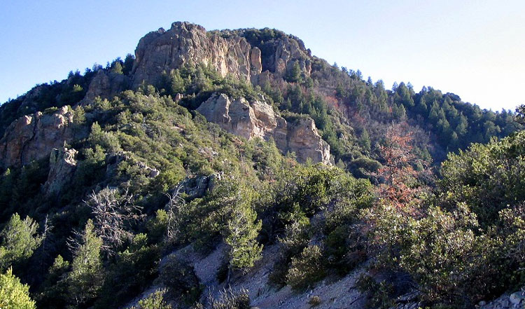
The YLE project is designed to reduce the accumulation of hazardous fuels, improve range and watershed conditions, improve wildlife habitat (including that for bighorn sheep), return the ecosystem to a more fire-resilient state, and reduce the likelihood of future high-intensity wildfires within the project area. By reducing the probability of extreme fire behavior in wildland fires, the intent is to subsequently reduce threats to firefighter and public safety as well as reduce costs and resource damage resulting from wildfires.
Smoke will be visible periodically from Sulphur Springs Valley and Bonita, Willcox, Benson, San Manuel, Oracle, Klondyke and the surrounding areas for the duration of the project. Temporary road and trail closures will go into effect as prescribed fire activities progress. Closure orders will be posted as is appropriate.